Utah's First Significant Snow of the Season: A Rare Tropical Storm Hits the Wasatch

Tropical Storm Rachel could bring Utah its first real snow Oct 13-14, 2026. NWS says 2-5 inches. OpenSnow says up to 14 at Snowbird. See both forecasts.
Advertisement
Tropical Storm Rachel's remnant moisture is forecast to bring Utah's first significant snow of the season on 13-14 October 2026, and the National Weather Service's own Salt Lake City office says it has seen this happen only about twice in 20 years. The storm itself arrives first, as heavy rain and strong wind over the weekend of 10-11 October, then dissipates near Evanston, Wyoming, around 12 October. The snow comes a few days later, once a separate cold front moves in and mixes with whatever tropical moisture is left over, putting snow on the Wasatch and Uinta mountains days after Montana and Wyoming saw their own version of the same storm system.
Key facts (forecasts issued 10 October 2026):
Storm window: snow mainly 13-14 October 2026, Tuesday and Wednesday
NWS forecast: 2-5 inches at high elevations, little below 10,000 feet
OpenSnow forecast: up to 14 inches at Snowbird, 12+ at Alta, about 8 at Brighton
Rarity: NWS Salt Lake City says tropical moisture has reached Utah only about twice in 20 years
Will it last: no. Both forecasters expect it to melt fast once temperatures warm back up
Ski season tie-in: Brian Head, Utah's highest-base resort at 9,600 feet, isn't scheduled to open until 6 November
Bigger than the snow: over 75% of Utah was in severe or extreme drought going into the storm, and rain, not snow, is the main event for most of the state
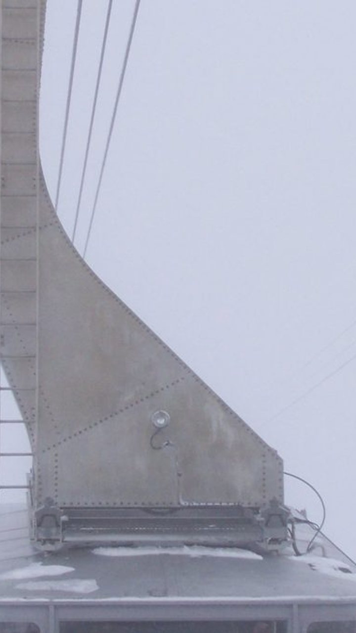
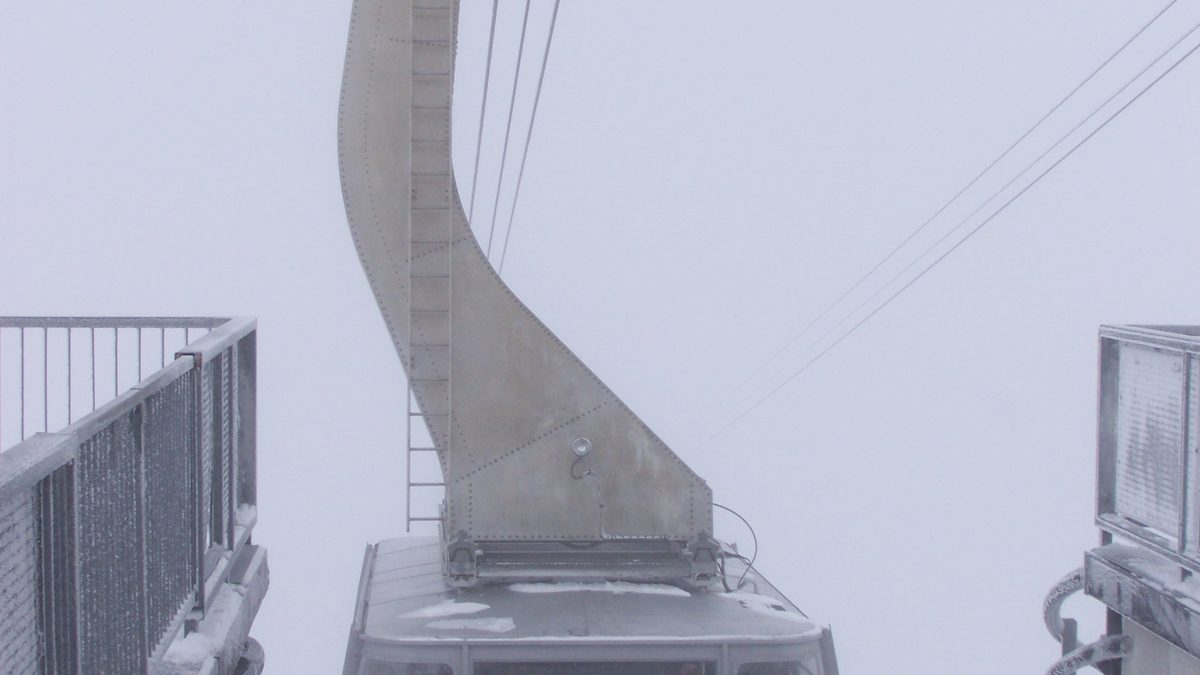
The Snowbird tram, Snowbird ski resort, Utah. Photo: Kasiarunachalam, CC BY-SA 3.0.
How much snow will Snowbird and Alta get?
Somewhere between 2 inches and 14 inches, depending entirely on which forecaster you trust. The National Weather Service's Salt Lake City office, through meteorologist Christine Kruse, calls for 2 to 5 inches at high elevations, mostly on 13-14 October 2026, with little more than a dusting below 10,000 feet. OpenSnow's Evan Thayer is far more optimistic: up to 14 inches at Snowbird, more than a foot at Alta, and around 8 inches at Brighton, though that is already down from a 19-inch call he made a few days earlier as models shifted.
Location | NWS forecast | OpenSnow forecast |
|---|---|---|
Snowbird | 2-5 in (high elevations) | Up to 14 in |
Alta | 2-5 in (high elevations) | More than 12 in |
Brighton | 2-5 in (high elevations) | About 8 in |
Brian Head | About 2 in | About 7 in |
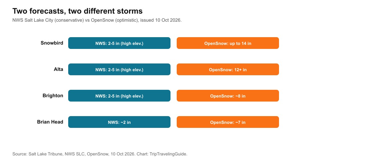
Two forecasters, two different storms, for the same four days.
Advertisement
Will Utah get more rain or more snow from this storm?
For most of Utah, yes. Snow is a mountaintop story. Rain is a statewide one. Forecast rainfall ranges from about 1 to 3 inches or more in the mountains down to roughly 0.4 inches in central Utah's rain-shadowed areas, with the Wasatch Front expecting 0.75 to 1.5 inches or more. That matters because over 75 percent of Utah was in severe or extreme drought heading into this storm, and the state's water supply depends overwhelmingly on mountain snowpack, not this one event.
Utah climate scientists have been candid that the forecast kept changing day to day. One state climatologist described it as "flip-flopping back and forth" with each new model run, and even meteorologists who welcomed the moisture called it a genuinely useful but one-off boost to soil moisture, not a drought-ending storm.
Wind is a real part of this storm too, not just rain and snow. Forecasts called for gusts reaching or exceeding 70 mph in parts of Utah over the 10-11 October weekend, strong enough to raise real concern about downed trees and power outages, separate from anything the later snow does.
Why is this storm so rare for Utah?
Because tropical systems almost never reach this far inland with enough moisture left to matter. Kruse said that across 20 years at the Salt Lake City forecasting office, she has probably seen a hurricane, tropical storm or post-tropical remnant reach Utah only twice. Rachel formed in the eastern Pacific, weakened from hurricane to tropical storm strength, and is forecast to cross Utah before dissipating near Evanston, Wyoming, with its leftover moisture combining with a cold front from the Pacific Northwest to produce the snow.
This is the same storm system behind our Montana snow guide, which brought a widely covered early snowstorm to Montana and Wyoming on 10-12 October 2026, now reaching Utah a few days later on a delayed, weakened timeline.
Is this snow actually skiable?
Kruse's own answer: "I don't know that it's skiable." Both forecasters agree the snow won't persist. Kruse expects highs back in the upper 30s to low 40s within a few days after the 13-14 October snow, warm enough to strip a thin snow layer off most slopes, while Thayer notes it could linger longer on colder, north-facing terrain. Anyone heading above 10,000 feet should plan for real winter conditions regardless of how long the snow sticks around at the base.
If you're driving a canyon road to Alta, Snowbird, Brighton or Solitude on 13-14 October 2026, carry chains or traction devices and expect slow traffic at a minimum
Check the National Weather Service Salt Lake City office directly for the latest advisory before you drive, not just this article
If you're outdoors anywhere in Utah over 10-11 October, treat the wind as the more immediate risk, with gusts forecast to reach or exceed 70 mph in parts of the state

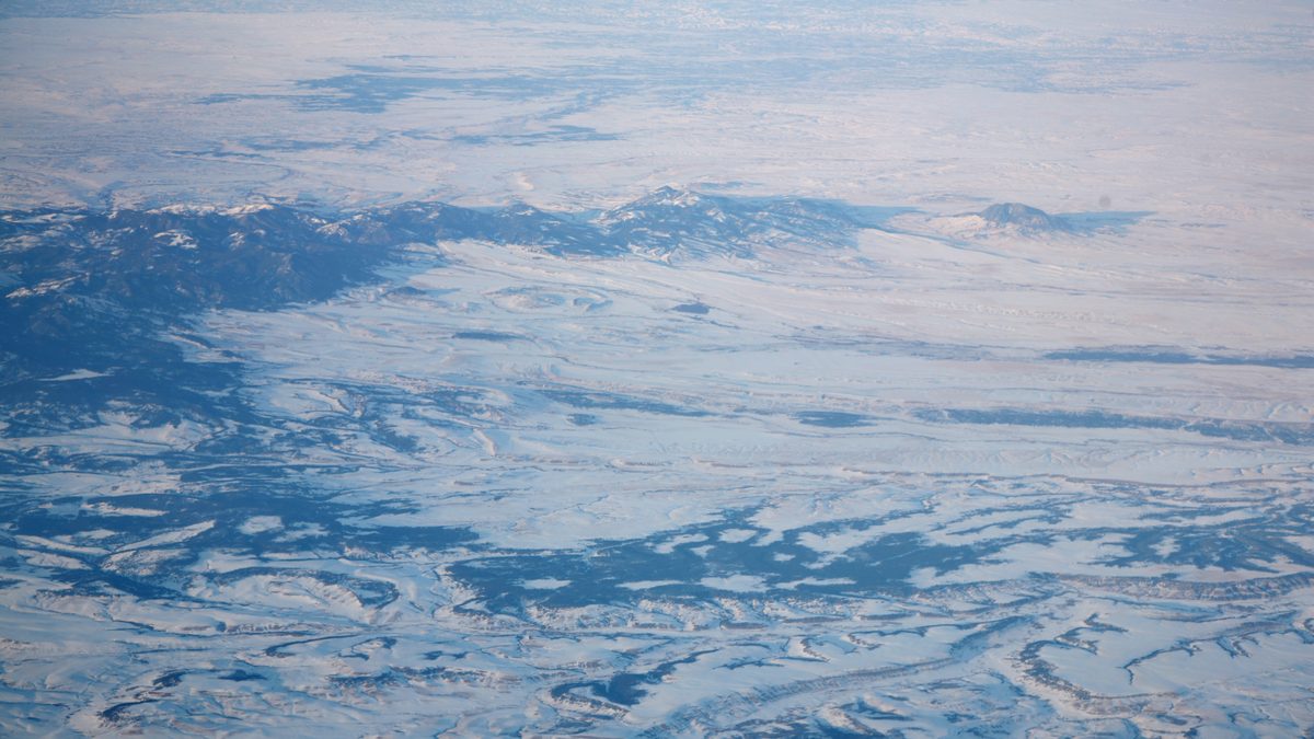
The Wasatch Mountains, home to Alta, Snowbird and Brighton. Photo: Pastelitodepapa, CC0.
Advertisement
When do Utah's ski resorts open in 2026-2027?
Not much for official opening dates, even if it is a preview of the terrain to come. Our ski season opening-dates guide lists Alta, Park City and Solitude all targeting 20 October 2026, with Brian Head, Utah's highest-base resort at 9,600 feet, not scheduled until 6 November. This storm's snow will likely melt well before any of those dates arrive, and resorts still need sustained cold for snowmaking, not one unusual storm, to open on schedule.
What are the limits of this guide?
Both main forecasts above were issued on 10 October 2026, and OpenSnow's own call already dropped from 19 inches to roughly 14 at Snowbird within a few days as models shifted, which shows how much these totals can move. Sources don't even agree on the elevation where snow starts sticking: one local outlet put it near 8,000 feet, another near 9,000 feet, and the NWS itself talks about 10,000 feet as the threshold for real accumulation. By 10-11 October, some short-range ski-resort forecasts were already showing far smaller totals, closer to the NWS's conservative end than to OpenSnow's original call, for the first days of the window.
Treat the NWS figures as the more conservative floor and OpenSnow's as the optimistic ceiling, and check the National Weather Service's Salt Lake City office or your resort's own snow report directly for anything closer to 13-14 October 2026.
Quick answers about Utah's first snow, October 2026
When will Utah get its first significant snow of the 2026-2027 season?
Mainly 13-14 October 2026, from the remnants of Tropical Storm Rachel combining with a cold front.
How much snow will Snowbird and Alta get?
The National Weather Service forecasts 2-5 inches at high elevations. OpenSnow forecasts up to 14 inches at Snowbird and more than 12 at Alta.
How rare is a tropical storm reaching Utah?
Very. NWS Salt Lake City says it has happened only about twice in 20 years at that office.
Will this snow stick around?
No, not at most elevations. Both forecasters expect it to melt within a few days after the 13-14 October snowfall as temperatures warm, though it may linger longer on north-facing terrain above 10,000 feet.
Does this storm change Utah's ski resort opening dates?
No. Alta, Park City and Solitude are still targeting 20 October 2026, and Brian Head is still scheduled for 6 November.
Is this storm mostly about snow or about rain?
Mostly rain for most of Utah. Forecast rainfall runs from about 0.4 inches in central Utah up to 3 inches or more in the mountains, which matters more statewide than the high-elevation snow, since over 75 percent of Utah was in severe or extreme drought beforehand.
Sources
Salt Lake Tribune, Utah's first significant snow forecast, 10 October 2026
National Weather Service, Salt Lake City forecast office, Christine Kruse, 10 October 2026
OpenSnow, Evan Thayer, Utah resort snow forecast, 10 October 2026
KSL, rainfall and drought context for Tropical Storm Rachel's remnants, 8-9 October 2026
Snow-Forecast.com and j2ski, short-range Alta and Snowbird snow outlooks, 8-10 October 2026
Topics
Advertisement