Kentucky Snow Predictions 2026-2027: What the Data Actually Shows

NOAA gives the Ohio Valley no confident lean this El Nino winter. See 10 years of Louisville and Lexington snowfall data and what it means for Kentucky.
Advertisement
Kentucky splits into three different snow climates inside one state line. Eastern Kentucky's mountains see the first snow of the season by mid-December most years. Louisville, in the Ohio River valley, averages 9 inches for the whole winter. Nobody, including NOAA, can tell you today how many inches will fall in either place in January 2027.
This guide is built from National Weather Service station records and the NOAA outlooks that existed in September 2026. Every figure is sourced and dated. We do not forecast a seasonal snow total, because that number is not forecastable months out, and any page printing one has invented it.
Will It Snow in Kentucky This Winter?
Almost certainly, somewhere in the state. Every one of the last 10 winters has brought measurable snow to both Louisville and Lexington, Kentucky's two long-record stations, and eastern Kentucky's higher elevations see it earlier and more often than either city.
How much is a different question, and nobody can answer it in September. The range across just the last decade runs from 2.4 inches to 22.1 inches in the same city. A single number for "how much this year" does not exist yet.
What Does NOAA's Winter Outlook Say for 2026-2027?
NOAA's Climate Prediction Center has not issued a confident temperature lean for the Ohio Valley, where Kentucky sits. That is a real finding, not a dodge: the agency is saying the odds of an unusually warm or unusually cold winter are close to even here, unlike the clearer signals it is showing the northern and southern United States this year.
On precipitation, the CPC's seasonal outlook leans wetter across the South and up into the eastern Ohio Valley, which nudges the odds toward more snow-producing storms, not fewer, even without a confident temperature call. The strongest wet signal on NOAA's map sits over California and the Southeast, with the El Nino pattern's influence expected to peak January through March 2027 rather than in early winter.
Is 2026-2027 an El Nino Winter?
Yes, and an extreme one. The Climate Prediction Center's September 10, 2026 discussion states a greater than 90% chance of a very strong El Nino through fall and winter 2026-27, and a 75% chance the event becomes historic, exceeding every El Nino in the record back to 1950.
The measurements behind that call are stark. Sea surface temperature anomalies in the eastern equatorial Pacific were exceeding plus 3.0 Celsius as of August 2026, with the Nino-3.4 index at plus 1.8C and Nino-1+2 at plus 3.4C. This is the same event reshaping outlooks for Texas and the Southeast.
Skip the assumption that a headline-grabbing El Nino means a clear call for every state. Kentucky is the counterexample sitting right in the middle of the map: CPC's own outlook gives the Ohio Valley no confident temperature lean at all, even in a record-setting event.
When Does It Snow in Kentucky?
January carries the most snow on average, with February close behind. Together the two months hold roughly two-thirds of a typical Kentucky season's total, based on the National Weather Service's 1991-2020 climate normals for both Louisville and Lexington.
| Month | Louisville average | Lexington average |
|---|---|---|
| November | 0.4" | 0.4" |
| December | 1.8" | 1.9" |
| January | 4.5" | 4.7" |
| February | 4.2" | 4.6" |
| March | 2.1" | 2.8" |
In eastern Kentucky's higher elevations, the season starts earlier. The National Weather Service's Jackson office, using 35 years of data, puts the 50% likelihood window for first measurable snow at higher elevations between November 16 and December 14. In the valleys, where most eastern Kentuckians live, first snow typically lands later, between December 2 and December 31, with a median around December 13-15. There is roughly a 25% chance the valleys see nothing until after New Year's, a wait that is rare higher up.
Advertisement
How Much Snow Does Kentucky Get in an Average Winter?
Central Kentucky averages about 14 inches a season and the Louisville area about 13, based on official 1991-2020 climate normals covering November through March. Both totals concentrate almost entirely in the four months from December to March.
| City | Nov-Mar normal (1991-2020) | 10-year actual average |
|---|---|---|
| Lexington | 14.4" | 10.3" |
| Louisville | 13.0" | 9.0" |
Both cities are running below their own 30-year normal over the last decade. That is worth a sentence, not a conclusion: 10 winters is a short sample, and a single heavy season can swing the average by several inches, which is exactly what happened in 2024-25.
Louisville and Lexington Snowfall: The Last 10 Winters
Official National Weather Service seasonal snowfall records for Louisville and Lexington, Kentucky's two longest-running stations, going back to 1872 at Louisville and 1888 at Lexington. Each figure below is the Dec-Feb winter total for that season.
| Winter season | Louisville | Lexington |
|---|---|---|
| 2024-25 | 22.1" | 21.6" |
| 2023-24 | 4.6" | 6.9" |
| 2022-23 | 4.4" | 2.6" |
| 2021-22 | 8.0" | 18.4" |
| 2020-21 | 17.5" | 18.5" |
| 2019-20 | 2.4" | 3.6" |
| 2018-19 | 8.1" | 5.5" |
| 2017-18 | 6.0" | 7.6" |
| 2016-17 | 2.7" | 3.4" |
| 2015-16 | 14.4" | 14.6" |
Two real findings sit inside that table. 2024-25 was the snowiest winter of the decade in both cities by a wide margin, roughly double the second-highest season. And 2021-22 shows a genuine city-level split: Lexington finished with 18.4 inches while Louisville, 78 miles west, managed only 8.0. Same winter, same state, very different outcome. Kentucky is not one snow climate, and a season that is generous to Lexington is not automatically generous to Louisville.
Where in Kentucky Gets the Most Snow?
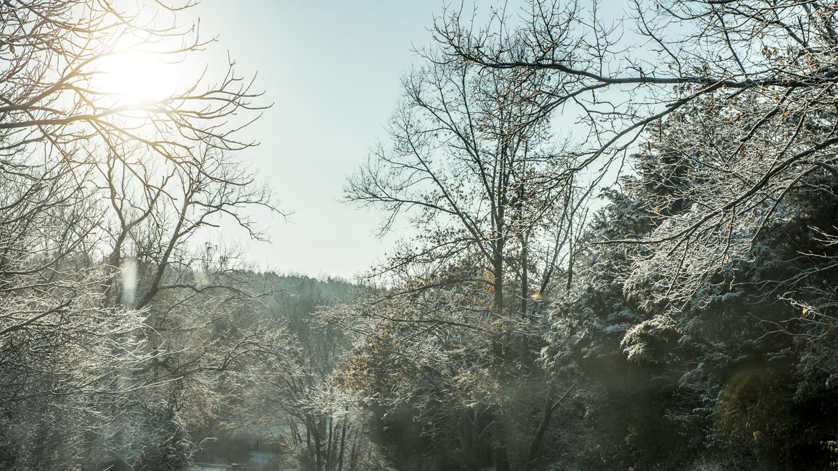
Eastern Kentucky's mountains, driven by elevation rather than latitude. The National Weather Service's Jackson office, which covers that region, documents first snow arriving up to two weeks earlier at higher elevations than in the valleys below, and the same elevation effect tends to hold through the season.
- Eastern Kentucky (mountains): earliest and most frequent snow of the three regions, per NWS Jackson's 35-year first-snow climatology.
- Central Kentucky (Lexington): 10-year average 10.3 inches a season, the higher of the two tracked cities.
- Louisville and western Kentucky: 10-year average 9.0 inches, the mildest region, sitting in the Ohio River valley.
A precise 10-year table for a specific eastern Kentucky city was not available from a single official source the way Louisville and Lexington's records were, so this guide states the regional pattern rather than inventing a number for a city we have not measured.
Advertisement
What Was Kentucky's Snowiest Winter in the Last Decade?
2024-25, and it was not close. Louisville recorded 22.1 inches and Lexington 21.6, both roughly double the decade's next-highest season. News coverage at the time pointed to a major storm on January 5-6, 2025 that dropped 6 to 12 inches across southern Indiana and north-central Kentucky, followed by a period of freezing rain that layered ice into the snowpack across the Louisville metro area.
That single event is most of the reason 2024-25 stands out in the official record. It is a useful reminder that a season's total in Kentucky often comes down to one or two storms landing directly on a city, not a steady accumulation across the winter.
What This Means If You're Traveling to Kentucky This Winter
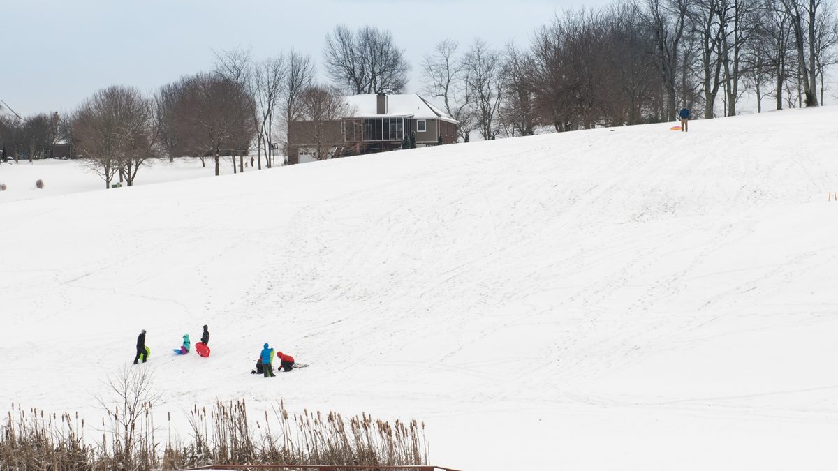
Build flexibility into any January or February trip through the state's interstates, especially I-64 and I-75 through the eastern hills. Kentucky's snow events tend to be short and sharp rather than prolonged, which catches drivers off guard more than in states that see snow constantly.
If seeing snow is the actual goal, aim for eastern Kentucky in January rather than Louisville in December. The elevation effect and the January-February peak both point the same direction. Don't book a trip around a single guaranteed-snow date this far out. Treat late January as a target based on the record, not a promise NOAA or anyone else can make.
Sources
Every claim above traces to one of the following, checked in September 2026.
- NOAA Climate Prediction Center, ENSO diagnostic discussion, issued September 10, 2026
- National Weather Service Louisville, seasonal average temperatures, precipitation and snowfall, Louisville, 1872-2025
- National Weather Service Louisville, seasonal average temperatures, precipitation and snowfall, Lexington, 1888-2025
- National Weather Service Louisville, Louisville daily climate normals, 1991-2020
- National Weather Service Louisville, Lexington daily climate normals, 1991-2020
- National Weather Service Jackson, first snowfall climatology for eastern Kentucky
- National Weather Service Louisville, winter weather forecasts and outlooks
Monthly and 30-year normal figures were computed by hand from the official NWS daily normals tables cited above; the underlying daily data is public and the sums are independently checkable. Snowfall figures are official station observations as retrieved in September 2026. Conditions change: check the National Weather Service forecast for your destination in the week before you travel.
For the wider picture this winter, see our USA winter snow predictions guide. For how neighboring states are shaping up, see our Tennessee snow guide and Georgia snow guide.
Topics
Frequently asked questions
Advertisement