Will It Snow in South Carolina in 2026-2027? NOAA's Outlook

NOAA's real 2026-2027 winter outlook for South Carolina, the January 2026 statewide snowstorm, and 10+ years of actual snowfall by region.
Advertisement
South Carolina's 2026-2027 snow outlook: an Upstate bet, a proven coastal exception
South Carolina splits cleanly into two different winters every year, and this one is no exception. The Upstate around Greenville and Spartanburg gets real, repeatable snow most seasons; Charleston, Myrtle Beach and the rest of the coast go years without any. Then, on 31 January 2026, a nor'easter erased that line for a weekend, dropping measurable snow from the coast to the Upstate, closing schools statewide, and killing four people. That storm, not a seasonal outlook, is the honest reason anyone is asking about this winter at all.
NOAA's read for 2026-2027 favors more rain and snow than usual, driven by a strong El Nino, with the Upstate still carrying the state's best real odds and the coast staying the long shot it has always been. Nobody, NOAA included, can say today how many inches will fall in Columbia or Charleston, or repeat what January's storm did. What the record actually supports is below: the 1991-2020 NOAA averages by region, this year's Climate Prediction Center outlook, and the storms that set the marks everyone still measures against.
This page is built from NOAA's Climate Prediction Center outlook, National Weather Service station records and the state's own storm reports, not a private forecaster's guess or an almanac's; we have not travelled to South Carolina to observe these storms ourselves. It's part of the same 2026-2027 winter story we're tracking across the USA snow predictions hub.
Does it snow in South Carolina?
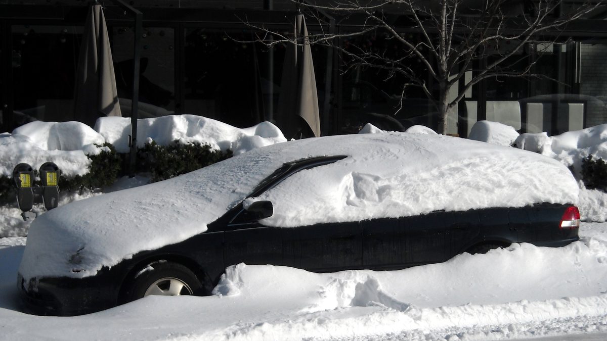
Yes, but how often depends entirely on where. NOAA's 1991-2020 climate normals put most of the coast and Lowcountry at effectively zero measurable snow in an average year, the Midlands around Columbia at under an inch, and the Upstate foothills as high as 2.6 inches a season. A single big storm, like January 2026's, can put ten times that on the ground in one weekend and still not change the 30-year average much.
| Region | Representative locations | 1991-2020 average annual snowfall |
|---|---|---|
| Coast & Lowcountry | Charleston, Beaufort, Moncks Corner | 0.0-0.2 in |
| Midlands | Columbia, Sumter, Florence | 0.1-0.8 in |
| Upstate | Greer, Caesars Head, Gaffney, Anderson | 0.4-2.6 in |
Source: NOAA National Centers for Environmental Information, 1991-2020 Climate Normals. These are averages across 30 years, most of which had no measurable snow at all in the Lowcountry. The average exists because a handful of years, like this year's January storm, carry the whole period.
Why do South Carolina snow totals look so different from site to site?
Because most pages quote one storm, one station, or one un-labelled averaging period, and don't say which. A page built around January 2026's Spartanburg total of 7 inches and a page built around the 1991-2020 Charleston average of 0.2 inches are both accurate and describe almost opposite realities. This page separates the two on purpose: the 30-year average above, and the actual recent events below.
What happened in South Carolina's January 2026 snowstorm?
A nor'easter moved through the Southeast from 30 January to 2 February 2026, unofficially named Winter Storm Gianna by some meteorologists, and it produced the state's most significant snow event in years. Governor Henry McMaster extended a state of emergency on 29 January ahead of the storm; South Carolina mobilized roughly 3,000 Department of Transportation staff and more than 350 National Guard members, and opened nine shelters.
| Location | Snowfall |
|---|---|
| Fingerville (Upstate) | 8.4 in |
| Spartanburg | 7.0 in |
| Belton | 5.0 in |
| Kershaw County | 5.0 in |
| Mauldin | 4.5 in |
| Fairfield County | 4.5 in |
| Columbia (city) | 4.0 in |
| Columbia Metro Airport (official) | 2.9 in |
| Beaufort / Jasper / Hampton counties | up to 4.0 in |
| Charleston (NWS official, 7am Feb 1) | 1.0 in |
Near the North Carolina line, a narrow mesoscale snowband dropped an isolated 13 to 18 inches, far above anything else reported. The National Weather Service in Charleston noted the snow fell unusually dry, with a snow-to-liquid ratio around 15:1, calling that "quite uncommon for locations this far south."
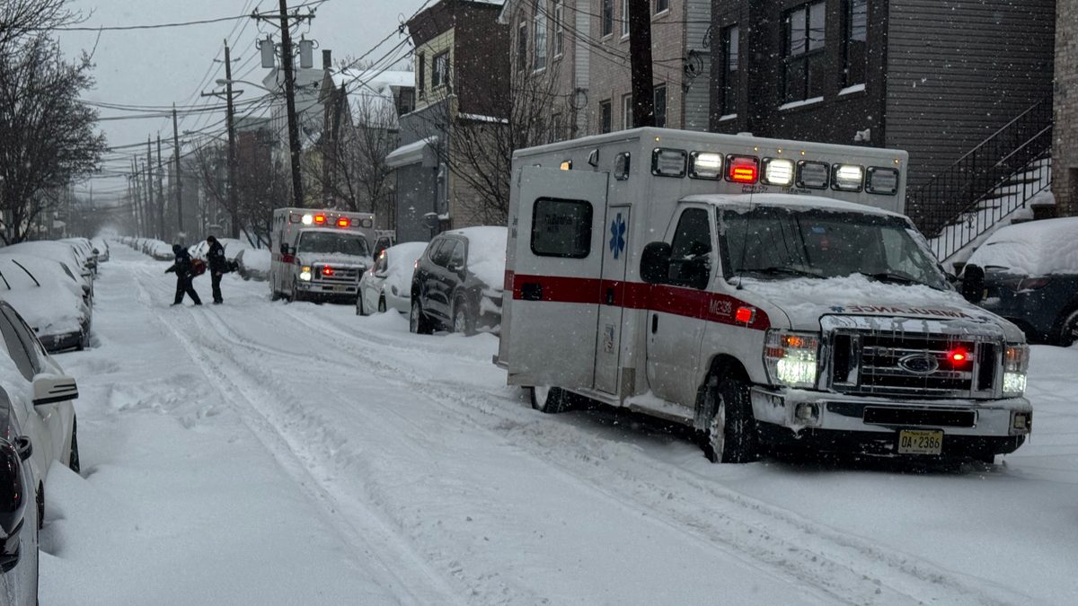
The storm was not without cost. South Carolina recorded four deaths: a sledding accident in Abbeville County, two vehicle crashes, and one hypothermia death in Anderson County. That combination, a genuinely large snow event and real casualties from a state unequipped for it, is the clearest illustration of what "snow in South Carolina" actually means on the ground.
What is NOAA's outlook for South Carolina this winter (2026-2027)?
NOAA's Climate Prediction Center released its updated long-lead seasonal outlook on 20 August 2026. For South Carolina and the wider Southeast, it favors above-normal precipitation, with CPC's own language putting the probability above 60 percent for November-December-January and staying elevated into January-February-March. Temperatures are leaning near-normal to slightly cooler than average, tied to an active southern storm track and increased cloud cover.
Advertisement
The driver is a very strong El Nino. NOAA's August ENSO forecast (the RONI index) put the October-December median at +2.66°C, keeping the winter solidly in "very strong" El Nino territory through the season.
None of this is a snow forecast. A wetter winter is a rain signal first. Whether that moisture falls as snow depends on cold air arriving at the same time as the storm, and CPC does not, and says it cannot, predict that months in advance.
What does El Nino mean for South Carolina this year?
Strong El Nino winters tend to push the Southeast's storm track further south and east, which is part of why CPC leans the state toward wetter conditions. Georgia and Tennessee, sitting further inland and at higher elevation, typically convert that same wetter pattern into more actual snow than coastal South Carolina does. January 2026's storm shows the exception: when cold air lines up correctly, even the coast can see snow, El Nino or not.
Which month is most likely to bring snow?
CPC's release speaks in three-month blocks, not individual months. Historically, South Carolina's snow events cluster in January and, less often, February, which matches both January 2026's storm and every major historical event below.
Will it snow in Columbia this winter?
Columbia sits in the Midlands, a transition zone where snow is possible but unreliable, and precipitation often mixes with rain or sleet before it can accumulate. Its 1991-2020 average is 0.8 inches a season, but the city just posted 4.0 inches (2.9 inches at the official airport gauge) in the January 2026 storm, its biggest snowfall in "several years" per local coverage. Before that, Columbia's most recent notable events were 2.0 inches in January 2022, 2.1 inches in February 2014, and 8.6 inches in February 2010. Its all-time daily record remains 12.3 inches, set 10 February 1973.
Will it snow in Greenville-Spartanburg this winter?
The Upstate has the state's best real snow odds, and January 2026 confirmed it again: Spartanburg took 7.0 inches, Fingerville 8.4 inches, and a narrow band near the North Carolina line saw 13 to 18 inches. That followed a January 2022 storm that set a daily snowfall record at Greenville-Spartanburg International Airport, 6.5 inches, with parts of northern Greenville County reporting up to 8 inches. With CPC again favoring a wetter pattern this winter, the Upstate remains the single best bet in the state for measurable snow.
Will it snow in Charleston this winter?
Charleston and the Lowcountry coast rarely see snow, and the 1991-2020 average of just 0.2 inches reflects that. Even in January 2026's statewide storm, official NWS measurements at Charleston came in at only 1.0 inch, well below the Upstate's totals. The city's most notable recent event before that was 5.3 inches on 3 January 2018; its all-time one-day record is 6.0 inches, set 23 December 1989. A wetter CPC outlook does not remove Charleston's coastal disadvantage: ocean-moderated air still has to lose that fight first.
Will it snow in Myrtle Beach this winter?
Myrtle Beach is even less snow-prone than Charleston. Its benchmark event remains the 14-inch storm of 22-24 December 1989, the only time the city has reached double digits since record-keeping began in 1940 (77.4 inches total across those decades). Its most recent measurable snow was a half-inch on 29 January 2022, with about an inch in nearby Conway. Nothing in this year's CPC outlook changes that baseline: Myrtle Beach needs a rare, specific cold-air setup to see snow at all, and even January 2026's statewide storm favored the interior and Upstate over the immediate coast.
Has South Carolina had a major snowstorm before?
Four events define the state's snow record:
- 10 February 1973: Columbia's all-time one-day record, 12.3 inches, the benchmark every later Midlands storm gets measured against.
- 22-24 December 1989: the Lowcountry's defining event: 14 inches in Myrtle Beach (its only double-digit total on record) and 6 inches in Charleston, both still standing as all-time daily records.
- 21-22 January 2022: a statewide event that set a new daily record at Greenville-Spartanburg, 6.5 inches, while Columbia and Charleston saw only light accumulation.
- 30 January-2 February 2026: the most recent major storm, and arguably the most consequential: widespread 4-8 inch totals from the Lowcountry to the Upstate, an isolated 13-18 inches near the North Carolina line, a state of emergency, and four deaths.
Where to see snow near Greenville or Columbia?
This is a research-based guide built from official sources and public storm records. We have not travelled to these locations ourselves for this article.
Advertisement
If you want the best realistic chance of seeing snow in South Carolina this winter, the Upstate foothills around Greenville-Spartanburg and toward the North Carolina line, including Table Rock State Park and Caesars Head, sit highest in elevation and cool fastest; they also took the heaviest hits in both the 2022 and 2026 storms. Columbia is a genuine second option in a wetter winter like this one is forecast to be, but treat it as a possibility, not a plan. Charleston and Myrtle Beach are not realistic snow-trip destinations in any normal year; January 2026 was the exception that proves the rule, not something to plan a coastal trip around.
Why does South Carolina close schools and roads for a few inches of snow?
Because a genuinely large snow event happens roughly once every four to five years across most of the state, and buying a northern-scale plow and salt fleet for that would mean equipment that sits idle almost every winter. January 2026 showed both sides of that trade-off at once: the state's emergency response, roughly 3,000 DOT personnel and 350-plus National Guard members, was real and fast, and the storm still caused four deaths, mostly from people and vehicles unused to driving or playing on snow and ice.
If you are travelling to or living in South Carolina, the practical lesson from 2026 is not "it never snows here." It is that when it does, the state closes down hard and fast, and the danger is less the snow itself than a population and road network with little practice handling it.
How to prepare if snow is forecast in South Carolina?
- Check the National Weather Service office for your area (Columbia, Charleston, or Greenville-Spartanburg, all at weather.gov) for winter storm watches and warnings, not a seasonal outlook.
- Treat any forecast icing or accumulation as a reason to stay off the road, not a reason to just drive carefully. South Carolina's DOT does not maintain a northern-state plow fleet.
- Watch bridges and overpasses specifically. They ice before flat roadway does, and several January 2026 crashes happened on elevated roadways.
- Expect schools and offices statewide to close at far lower totals than northern states. A 1-2 inch forecast is enough to shut down Columbia or Charleston.
- If travelling to the Upstate for snow, check road conditions on I-26 and I-85 the morning of, not the night before.
Our take
If you actually want to see snow in South Carolina this winter, go to the Upstate, not the coast. Spartanburg and the foothills toward North Carolina have now produced a measurable, sometimes record-setting snow event in three of the last five winters (2018, 2022, 2026); Charleston and Myrtle Beach have produced one apiece in that stretch, both far smaller. Skip planning a coastal South Carolina trip around snow this year. CPC's wetter-than-normal lean for 2026-27 is real, but on the coast it is far more likely to arrive as rain than as anything January 2026's storm produced.
Sources
- NOAA National Centers for Environmental Information, US Climate Normals 1991-2020, South Carolina regional snowfall averages. Accessed 15 September 2026.
- National Weather Service Charleston, "January 31 - February 1, 2026 Winter Storm" summary. Accessed 15 September 2026.
- Wikipedia, "January 30 - February 2, 2026 nor'easter," for statewide emergency response and fatality figures, cross-checked against contemporary news coverage. Accessed 15 September 2026.
- Fox Carolina and WRDW, snow total reporting for Upstate and CSRA-area South Carolina locations, 31 January-1 February 2026. Accessed 15 September 2026.
- Post and Courier and WACH, live coverage of Columbia, SC snow totals and conditions, 31 January-1 February 2026. Accessed 15 September 2026.
- Current Results, Columbia and Charleston SC year-by-year maximum daily snowfall records. Accessed 15 September 2026.
- WBTW, Myrtle Beach snowfall history through the years. Accessed 15 September 2026.
- NOAA Climate Prediction Center, long-lead seasonal outlook released 20 August 2026, and ENSO/RONI forecast update, August 2026. Accessed 15 September 2026.
- Post and Courier, "El Nino is expected to bring wetter-than-normal weather to SC this winter."
Topics
Frequently asked questions
Advertisement