Louisiana Snow Predictions 2026-2027

NOAA's real 2026-2027 outlook for Louisiana, the historic January 2025 Gulf Coast blizzard, and every city's real snowfall record compared.
Advertisement
Louisiana's 2026-2027 snow outlook: a wetter Gulf, a coastal wildcard
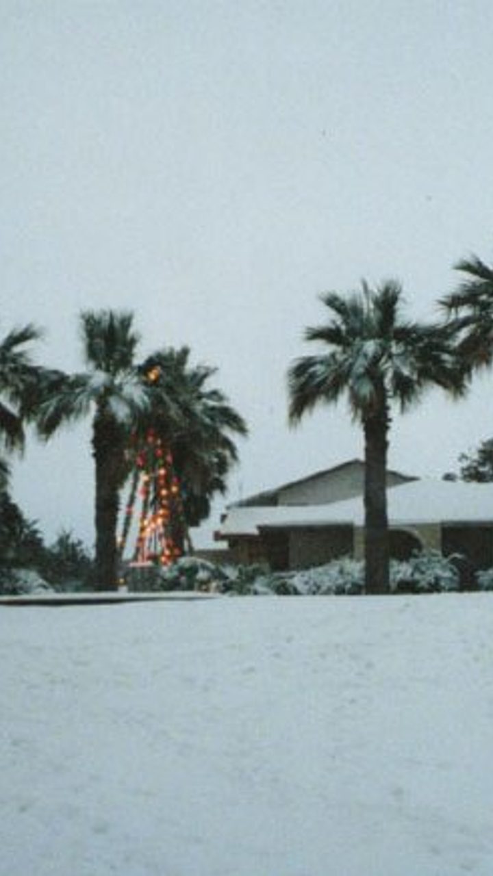
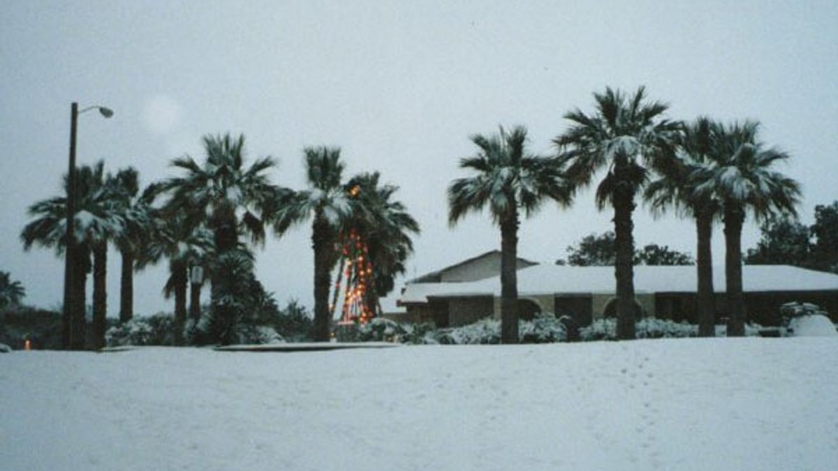
Two facts decide everything about snow in Louisiana this winter, and they pull in different directions. First, geography: New Orleans, Lafayette and Lake Charles average effectively 0.0 inches a season, Baton Rouge 0.2, and only Shreveport in the north climbs to 0.9, on NOAA's official 1991-2020 records, so most of the state sees nothing in most years. Second, memory: in January 2025, a genuine blizzard, the first ever to earn an official Blizzard Warning on this stretch of the Gulf Coast, buried New Orleans under 10 inches and Grand Coteau under 13.4, the region's most significant winter storm since 1895.
NOAA's own read for 2026-2027 sits between those two facts, not on either one. A strong El Nino is pushing the Climate Prediction Center toward a wetter, more active southern storm track, which raises the odds of some form of winter precipitation somewhere in the state.
It does not raise the odds of a repeat blizzard: storms on the scale of January 2025 are counted in decades, and CPC's outlook is a rain-and-storm-track signal, not a promise of snow on any specific date or in any specific parish. North Louisiana, closest to reliable cold air, remains the state's best realistic bet; the coast stays what it has always been, a place where "almost never" occasionally gets overturned without warning.
This page is built from NOAA's Climate Prediction Center outlook, National Weather Service station records, and Wikipedia's own well-sourced Louisiana snow climatology, not a private forecaster's guess or an almanac's; we have not travelled to Louisiana to watch these storms ourselves. It's part of the same 2026-2027 winter story we're tracking across the USA snow predictions hub.
Does it snow in Louisiana?
Rarely, and Louisiana's own average says so bluntly: about 0.2 inches a year statewide, a figure rivaled only by Florida and Hawaii for the lowest in the country. Measurable snow falls in northwest Louisiana roughly once every other year; south Louisiana, including New Orleans, can go a decade or more with nothing. Snow needs a specific setup here, a low-pressure system paired with unusually cold air pulled south, which is exactly what lined up in January 2025.
Does Louisiana get snow every year?
No, and most years it gets none at all. Northwest Louisiana sees measurable snow roughly once every other year on National Weather Service records; south Louisiana can go a decade or longer between events. A year with zero snow is the normal case, not the exception.
When was the last time it snowed in Louisiana?
21-22 January 2025, and it was not a light dusting. A genuine blizzard, the first on record for the central Gulf Coast, dropped 10 inches on New Orleans, matching the scale of the state's 1895 record, and 7.6 inches on Baton Rouge, breaking that city's all-time single-day record which had stood since 15 February 1895. Grand Coteau, further west, recorded the storm's highest total anywhere: 13.4 inches.
Will it snow in Louisiana this weekend or next week?
Nobody can answer that from a seasonal guide, and any page that claims to this far ahead is guessing. Snow depends on a specific short-range setup that only shows up reliably 3 to 5 days out. Check your local National Weather Service office (New Orleans/Baton Rouge, Lake Charles, or Shreveport) for the actual short-term forecast, not a seasonal outlook like this one.
What is NOAA's winter outlook for Louisiana in 2026-2027?
NOAA's Climate Prediction Center, in its long-lead outlook updated 20 August 2026, favors an active southern storm track bringing above-normal precipitation to Louisiana, Arkansas and southern Texas, with a real risk of heavy rainfall and flooding in the wettest systems. The driver is a very strong El Nino, with NOAA's August ENSO forecast putting the October-December RONI median at +2.66°C. Snow specifically is more likely to favor the upper South, Tennessee and Kentucky rather than Louisiana, though CPC's own language leaves the door open: near-freezing temperatures during a storm can turn a cold rain into an icy mix, or occasionally into real snow.
Does El Nino mean more snow in Louisiana?
Not directly. El Nino tilts the odds toward a wetter, more active storm track across the Gulf Coast, which is what NOAA's outlook is built on, but wetter is a rain signal first. Whether any given storm turns to snow depends on how much cold air is in place at the same time, something El Nino does not control by itself.
A wetter outlook is not a snow forecast. Neighboring Georgia, Tennessee, South Carolina and Alabama sit under the same El Nino pattern this season, and each has its own regional read on what that actually means locally.
Is the Farmers' Almanac right about Louisiana's winter?
It no longer matters going forward. The Farmers' Almanac announced in November 2025 that it is ceasing publication entirely after 208 years, citing financial challenges; its final edition calls for a wetter, stormier pattern along the Gulf Coast, which happens to match NOAA's direction this year. That does not rehabilitate its track record: the Colorado Climate Center audited the Farmers' Almanac against NOAA's Climate Prediction Center across five winters (2019-2024) and found it scored +1 against CPC's +24, essentially indistinguishable from random guessing. There will not be another Farmers' Almanac winter forecast for any future year, Louisiana included.
Advertisement
How much snow does Louisiana get a year?
On NOAA's 1991-2020 average, effectively none across most of the state. The Gulf Coast cities (New Orleans, Lafayette, Lake Charles) round to 0.0 inches; Baton Rouge averages 0.2; the north, around Shreveport, is the state's snowiest area at 0.9. Even Shreveport's average is a rounding error next to a single day of the January 2025 blizzard.
Louisiana snow totals by city
City | Region | 1991-2020 seasonal normal | January 2025 blizzard total |
|---|---|---|---|
New Orleans | Southeast Louisiana | 0.0" | 10.0" |
Baton Rouge | Florida Parishes | 0.2" | 7.6" (all-time record) |
Lafayette | Gulf Coast, south-central | 0.0" | Not officially reported; nearby Grand Coteau hit 13.4" |
Lake Charles | Southwest Louisiana | 0.0" | Record low of 4°F recorded; snow total not separately published |
Shreveport | North Louisiana | 0.9" (state's highest normal) | Storm largely missed the north; no notable total reported |
That last column is the whole argument of this page in one table: a "normal" year and a "2025" year describe two different states.
Will it snow in New Orleans this winter?
Almost certainly not in a typical year, and the 0.0-inch average reflects that honestly. What January 2025 proved is that "almost never" is not "never": when a rare cold-air outbreak lines up with Gulf moisture, New Orleans can see more snow in one day than most northern cities get in a below-average month. Plan around the average, not the exception.
Will it snow in Shreveport this winter?
Shreveport has Louisiana's best real odds, at 0.9 inches a year, and its own piece of snow history: the "Snow Bowl," the 2000 Independence Bowl played on 31 December 2000 between Texas A&M and Mississippi State, when 2.2 inches fell on the stadium as the game was broadcast nationally on ESPN, the city's biggest daily snowfall since February 1985. Even Louisiana's snowiest city sees a real accumulation only occasionally, not every winter.
Will it snow in Lafayette this winter?
Unlikely in a typical year: Lafayette's own NOAA average rounds to 0.0 inches, same as New Orleans and Lake Charles. Nearby Grand Coteau, less than 20 miles north, recorded the January 2025 blizzard's highest total anywhere, 13.4 inches, which shows how much a short distance can matter in south-central Louisiana when a rare setup does arrive.
Louisiana's biggest snowstorms in history
Event | What happened |
|---|---|
February 1895 | Louisiana's all-time state record: 24 inches at Rayne, 22 at Lake Charles, 16 at Vermilion Parish. The benchmark every later storm gets measured against. |
December 1929 | Around 11 inches near Shreveport; half an inch remained on Christmas Day, the state's only documented white Christmas. |
January 1948 | 12.4 inches for the month, Louisiana's greatest monthly snowfall total on record. |
31 December 2000 | The "Snow Bowl": 2.2 inches at Shreveport Regional Airport during a nationally televised Independence Bowl. |
24 December 2004 | A Christmas Eve storm brought snow to areas that had gone 15 to 120 years without any. |
8 December 2017 | Up to 6 inches in parts of the state, including a notable Baton Rouge event. |
February 2021 | Two separate winter storms brought significant statewide snow and ice, part of the same cold outbreak remembered elsewhere as Winter Storm Uri. |
21-22 January 2025 | The Gulf Coast blizzard: 10 inches in New Orleans, 13.4 in Grand Coteau, 7.6 (an all-time record) in Baton Rouge. At least 13 deaths and roughly $200 million in damage region-wide. |
23-27 January 2026 | Winter Storm Fern: an ice and freezing-rain event across north Louisiana, not primarily snow. Two hypothermia deaths in Caddo Parish and 6,000-plus power outages statewide. |
What actually happened in the January 2025 Gulf Coast blizzard?
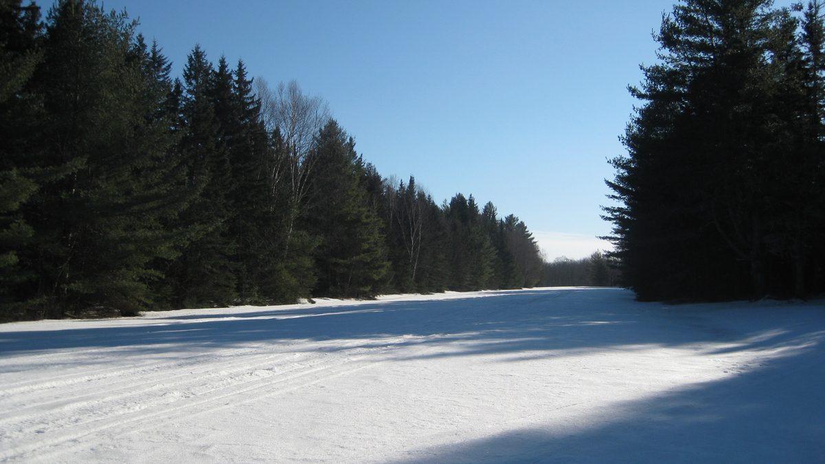
A genuine blizzard, not a snow event loosely called one, moved through the central Gulf Coast from 20 to 22 January 2025, eventually classified as a Category 1 "Notable" storm on NOAA's Regional Snowfall Index. The National Weather Service issued the first Blizzard Warning in the region's history. New Orleans measured 10 inches, tying the scale of its 1895 record; Baton Rouge's 7.6 inches broke a single-day mark that had stood since 15 February 1895; Grand Coteau's 13.4 inches was the highest total recorded anywhere in the storm's path, which extended into Mississippi, Alabama, Georgia and the Carolinas. At least 13 people died and damage across the region totaled roughly $200 million, with more than 77,000 power outages. The same system later crossed the Atlantic and struck Europe as Storm Eowyn.
Advertisement
A storm this size happening once does not make it a pattern. NOAA's own Regional Snowfall Index exists specifically because a single extreme event and a normal climate average are different questions, and this page keeps answering both rather than picking one.
Did Louisiana get hit by a winter storm in January 2026?
Yes, a different and less severe one than 2025's blizzard. Winter Storm Fern moved across the Louisiana-Arkansas region from 23 to 27 January 2026, bringing ice, snow and freezing rain rather than a repeat of the prior year's heavy accumulation. Two men died of hypothermia in Caddo Parish, in the Shreveport area, and Louisiana power outages rose past 6,000 as ice, more than half an inch in some areas, coated lines and roads. This was primarily an ice event, not a snow event, which is exactly the more common pattern for a Louisiana winter storm.
Is ice a bigger risk than snow in Louisiana?
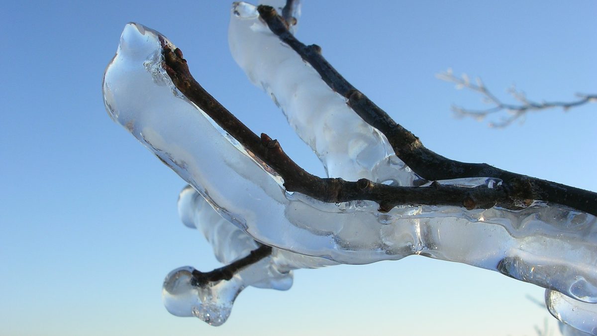
Yes, in most years. Louisiana's National Weather Service and state hazard planners treat ice storms and freezing rain as the more frequent winter threat, well ahead of blizzards or heavy snow; February 2021's twin storms, tied to the same Arctic outbreak remembered as Winter Storm Uri in Texas, brought exactly that mix statewide. A thin glaze of ice disables roads and power lines at a fraction of the depth a snowstorm needs to cause the same disruption.
How to prepare if snow or ice is forecast in Louisiana?
Check the National Weather Service office for your area (New Orleans/Baton Rouge, Lake Charles, or Shreveport, all at weather.gov) for winter storm or ice storm warnings, not a seasonal outlook.
Treat any ice advisory as more dangerous than an equivalent snow forecast. Louisiana's roads and drivers see far less practice with either.
Expect schools, offices and even bridges (the Crescent City Connection and Lake Pontchartrain Causeway have closed for far less than an inch) to shut down at low totals.
If a storm the size of January 2025 is ever forecast again, treat state and city emergency guidance as authoritative over social media comparisons to "the last time."
Know that a Blizzard Warning has happened here before. It is rare, not impossible, and it means the National Weather Service is not exaggerating.
Our take
If you are in Louisiana hoping to see snow, go north to Shreveport for the best average odds, and do not plan a trip around a repeat of January 2025; storms of that scale in this region are measured in decades, not years. If you are worried about winter driving, worry about ice first, not snow depth: Louisiana's roads and drivers are set up for neither, but ice is the one that actually shows up most winters. NOAA's wetter lean for 2026-2027 is real and worth watching, but on its own it says nothing about repeating a once-in-130-years blizzard, and nobody honest will tell you otherwise this far out.
Sources
Wikipedia, "Snow in Louisiana", for statewide historical climatology and event dates, cross-checked against contemporary news coverage. Accessed 17 September 2026.
Wikipedia, "2025 Gulf Coast blizzard", for the January 2025 event's totals, classification, and regional impact. Accessed 17 September 2026.
Wikipedia, "January 23-27, 2026 North American winter storm" (Winter Storm Fern), cross-checked against Yahoo News and Entergy Louisiana's own outage updates. Accessed 17 September 2026.
Current Results, Louisiana average annual snowfall (NOAA NCEI 1991-2020 Climate Normals). Accessed 17 September 2026.
Wikipedia, "2000 Independence Bowl", for the Snow Bowl's official snowfall total and broadcast details. Accessed 17 September 2026.
NBC News, coverage of the January 2025 New Orleans record snowfall. Accessed 17 September 2026.
Washington Post, "The Farmers' Almanac reaches the end of the road after more than 200 years". Accessed 17 September 2026.
Colorado Climate Center, "Should you use the Farmers' Almanac winter forecast?," 23 August 2024. Accessed 17 September 2026.
NOAA Climate Prediction Center, seasonal outlook. Accessed 17 September 2026.
Topics
Frequently asked questions
Advertisement